Article by Natalie Gallant
After back to back alpine ranges in the few weeks prior, the first stretch from Boyle Outdoor Education Centre (BOEC) left me feeling a little eager for more of where I’d just come from. Instead of high mountains I learnt to appreciate a different side of nature; big rivers, bush fire & sandflies. All three simultaneously in fact, on my final night before Arthur’s Pass.
The logistics of the South Island are a little different to the North. Popping in and out of mountain ranges means it’s not quite as easy to restock food at a local supermarket. So I’ve posted ahead bounce boxes full of goodies; advice to my future self - make the boxes different in some way…if I have to eat one more pumpkin seed…
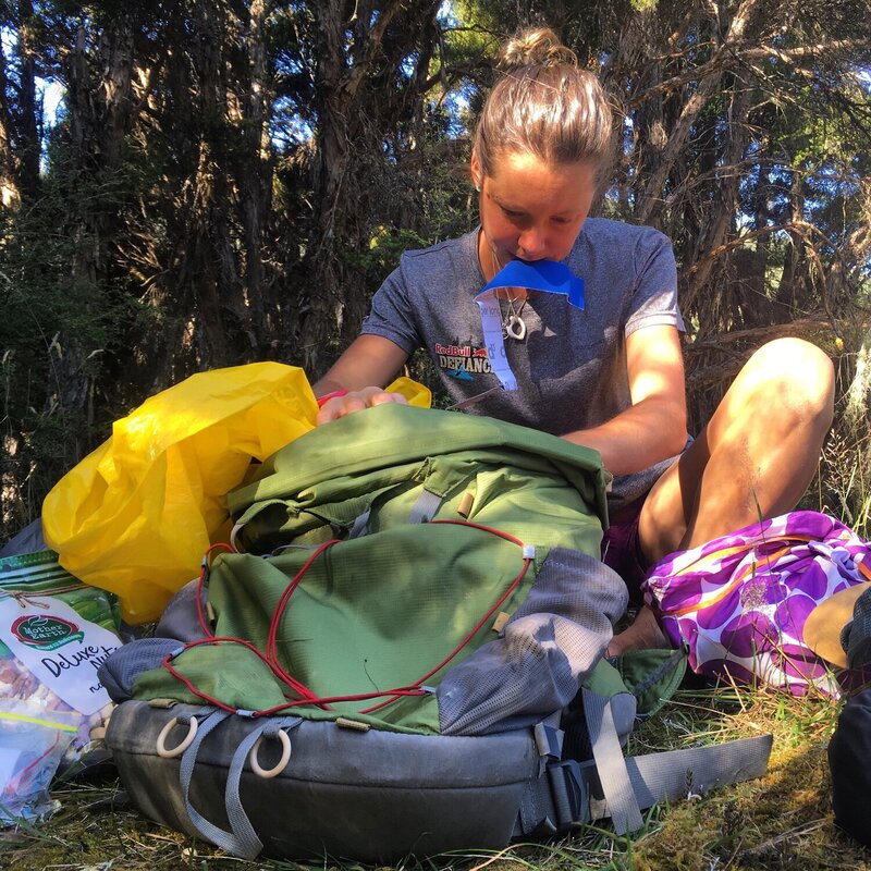
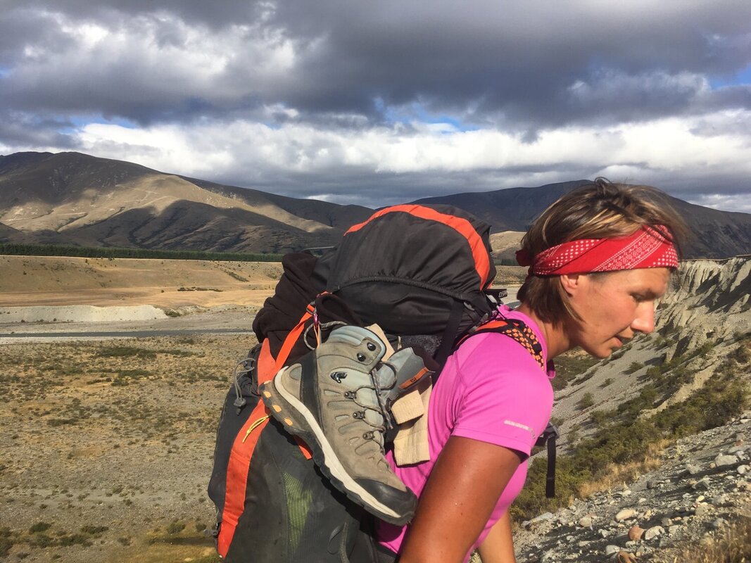
BOEC are fantastic in catering to the needs to TA hikers, holding all our boxes and providing a ‘pizza, drink, laundry and shower’ deal. They also provided me with the magic Zip-tie to hold my back pack together for the next 100km before I could get it to Christchurch for a repair. In my last blog I mentioned my pack had started chaffing my back again, and upon closer inspection I discovered where the straps attach to the back had ripped at the seam, tearing a hole in the back and then loosing the straps. Changing the straps so the force then went through the higher attachment (which also started to rip) meant my pack sat much lower on my back and I hadn’t realised how much I had got use to this position and didn’t think anything of it…until I had the pack replaced! I’ll come back to that later…
SANDFLIES. Can someone please explain their existence within the ecosystem? Apart from being a public nuisance do they have any other reason to be alive?? Google tells me ‘Sandflies are renowned for their bite, however it is only the female sandfly that bites as she requires blood to produce eggs and acquires this by piercing the skin.’ So every time you slap a sand fly on your skin and it squirts blood, find some solace in the fact that you saved the world from multiple more sandflies being born into existence! Luckily I don’t really react to their bite, but I find it reeeeeaally hard to act zen-like and ignore them crawling all over you. For example, Hope-kiwi Lodge, my first stopover before Lake Sumner was a beautiful hut converted from an old farm house. All the windows had to be kept shut as the sand flies were so intense and they somehow even get through the fly screens. The hut got so hot I couldn’t stand it so I braved the flies to put my tent up outside. I wish I’d filmed the debacle. At all times I had maybe 30 sandflies on my legs and they didn’t care about flying in my eyes either. Finally inside my tent and calming down from a murder spree I’d dished out to the ones I’d brought inside, I was safe. Right up until darkness fell it sounded like it was raining on my tent as thousands were diving bombing me, with the same thing happening as soon as dawn broke. I refuse to carry fly spray as that just adds weight to my pack so my attempts at zen practice will have to continue. That was an intense introduction to the South Island sandfly!
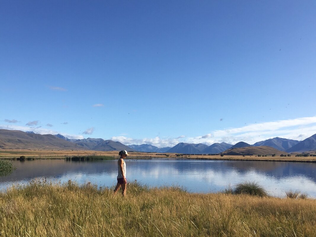
The trail around Lake Sumner provided lovely undulating runnable terrain for me to pack in some easy Kms. My impression of Lake Sumner was that of a giant Canadian Goose pond, only catching glimpses of its still waters as I ran through the trees.
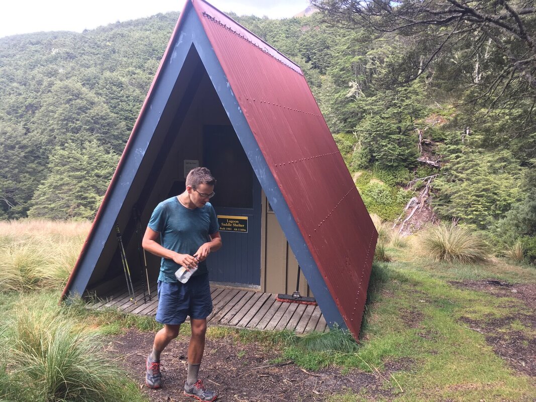
I found a few cool bivvys on the climb up to Harper’s Pass. I especially love the 2 bed one above with the fire exit sign on the only door. Best of all though, I always get a little too overexcited by 3 tier bunk beds! Also a new find on the trail is ‘walking the tight rope’ to get over a river - slightly more dicey especially taking a photo whilst still trying to balance, thankfully I’ve retained some skills from my years of gymnastics!
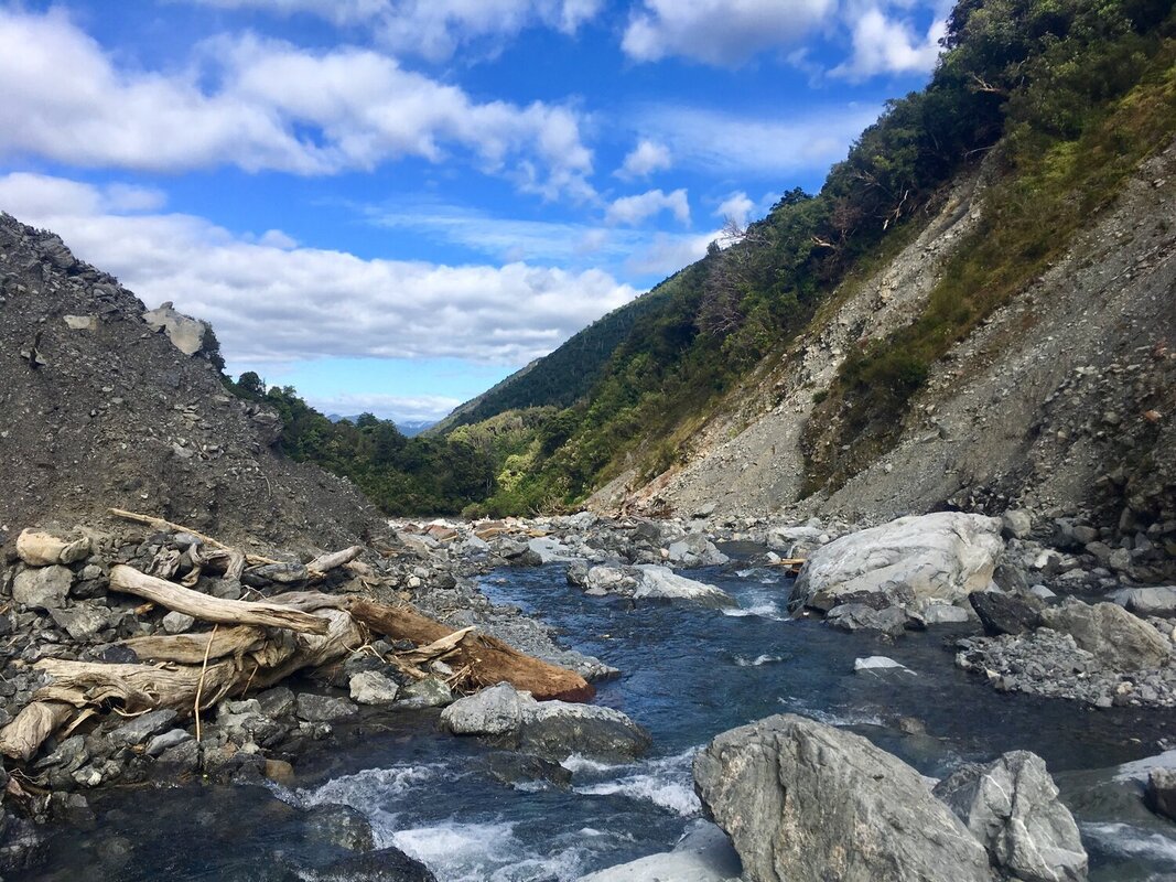
After Harper’s Pass the devastation from flooding and rock avalanches became clear. At one point I was navigating a gorge and using a tree branch to cling onto to avoid falling into the water below. I looked up and saw giant rocks jammed into its branches from previous rock falls…I gently let the tree go to avoid them falling on my head!
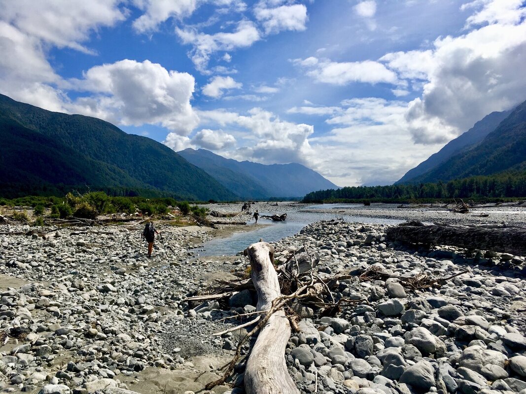
I then caught up with a French-Aussie couple to cross the Taramaka River. It’s a threaded river with multiple crossings and due to previous flooding had washed away the trail. Thinking safety in numbers, we found a way to wiggle across together. On the other side (after hours of walking over impossibly time consuming, energy sapping river pebbles and rocks) we met Trev the trapper who’d been laying bait for rats and stoats which are common NZ pests. He was waiting for his helicopter ride out of the bush…
Now, about that bush fire…I’m laid fast asleep in my tent and wake up hearing Claire’s French accent and the jiggle of light from head torches against my tent. ‘Nat! There’s a bush fire! We are escaping to the swing bridge’. Now I’m sat bolt upright and feeling the adrenaline course through my body. Also slightly confused by the origins of the bush fire when the world outside my tent seems so damp and dark… anyway who cares, there was a fire and I didn’t want to lay and wait to see if it was coming my way. I’ve never packed up my tent so fast and navigated fallen trees in the dark… Zac showed me a photo the next day, there was definitely a fire! I later learned the fire brigade and DOC had been called to attend to it but seeing as it was the other side of the river for them they just monitored it rather than cross the river in the dark. Unbeknownst to them we were scurrying through the dark ourselves to safety.
Now, about that bush fire…I’m laid fast asleep in my tent and wake up hearing Claire’s French accent and the jiggle of light from head torches against my tent. ‘Nat! There’s a bush fire! We are escaping to the swing bridge’. Now I’m sat bolt upright and feeling the adrenaline course through my body. Also slightly confused by the origins of the bush fire when the world outside my tent seems so damp and dark… anyway who cares, there was a fire and I didn’t want to lay and wait to see if it was coming my way. I’ve never packed up my tent so fast and navigated fallen trees in the dark… Zac showed me a photo the next day, there was definitely a fire! I later learned the fire brigade and DOC had been called to attend to it but seeing as it was the other side of the river for them they just monitored it rather than cross the river in the dark. Unbeknownst to them we were scurrying through the dark ourselves to safety.
The route up to Goat Pass hut is used as the trail run part of the Coast to Coast multi sport event. It’s basically monkey climbing up a giant river and multiple waterfalls and I absolutely loved it! Reaching Goat hut and having not heard the weather for a 4 days I radioed through to the Arthurs Pass DOC office who strongly recommended I get the heck down as a cyclone was fast approaching and with 200mm of rain and 100km/hr winds over the next 24hours they were quite stern on that one! I blitzed my way off the pass and down into the Arthurs Pass Valley. When I do the Coast to Coast event next year, I’ll be surprised if I can beat my time - 2:15 hours with 10kg on my back. I was flying!
I was picked up almost straight away from the road to Arthurs Pass Village, funnily enough by an ex-American Outward Bound instructor...thanks Coban! The rain hit that night and the high winds even scared away the Kea’s (alpine parrots that act like stroppy teenagers and attack tents and route through your bag for food!). I decided to make use of my time out of the mountains and grab a lift to Christchurch with Bill who owned the hostel I was staying at. What a fab guy and a fountain of knowledge for TA hikers. Joined by a few other TA-ers we had a pie party onboard the bus and also helped out with a bit of bus/countdown carpark physio treatment. I’m sure we appeared as classic hiker dirtbags taking over the parking lot!
Christchurch was 32C - stinking hot - but [success!] as the amazing , awesome, fantabulous Martin at Further Faster gave me a brand new backpack!! I was so appreciative I gave him a giant hug! That is customer service at its best..I didn’t even initially buy the pack from them. Those guys are really amazing and have everything a trail runner can need. Wearing my new pack felt like a dream, and wow had I missed what it should actually feel like!
Following the cyclone, I felt this section was a little tricky to go it alone since I didn’t know how it would affect the rivers. Let me introduce to you my new trail buddies, Jules and John. Jules is a German Aussie mathematician and John an American artist. Jules and I had actually met weeks ago in the Richmond Ranges and then again on the Goat Pass so it was lovely to get to know her further. This trail is amazing in terms of how you end up crossing paths with familiar faces over and over again. Everyone walks their own walk; some people choose to hitch dangerous road sections, some take side trips, some never rest, some always rest, some are puritans and walk every single step. This provides the beauty in trail friends coming and going and the joy of arriving at a hut after a long day alone only to find familiar faces welcoming you inside.
Back on trail after my whirlwind Christchurch visit, Bealey Hut was was my first nights stop. This was a much older hut than the one pictured above. We all know to hang our food at night in dry bags to avoid our supplies getting nibbled on by mice, however I was awake nearly all night with mice fighting and eating the roof insulation less than 1/2 a meter from my head on the top bunk. I couldn’t wait for dawn to break that following morning and my coffee to brew nice and strong in order to kick me into action. Darn those little scavengers!
The Rakaia and Rangitata Rivers are both large braided rivers with clear instructions given to all TA hikers not to attempt crossing them. Officially the trail ends on the northern side of each and begins on the southern with advice given to prearrange transportation out or hitch. On route to the settlement of Lake Coleridge on the banks of the Rakaia, Jules, John and I were lucky in that two huge trucks pulled over. We could barely see them through their giant gravel dust clouds but we were given the OK to hop aboard. We clambered up the ladders hauling our packs one at a time into the cab, destination - Methven. Given we had not had fresh food for a while we went to town on home made burgers and salad for dinner and a royal breakfast of scrambled eggs and smashed avo on toast. ‘Yum’bro’!
The following day (slightly hazy headed from a glass of red wine or two the night before - I have totally lost any tolerance I had for alcohol!) we began again on the southern side. We hadn’t got very far before meeting Geoff, the coolest DOC (Department of Conservation) ranger around. He rocked up on his dirt bike to check the hut and switch out the intentions book for a new one, a job he performs once every four years so we were super lucky to meet him and have the honour of being first in writing our names in the new book!
After a low lying cloudy start to the morning the clouds lifted for a beautiful view across Maori Lakes and then the rain set in again for the afternoon’s hike through what I have been told was Lord of the Rings terrain.
The second round river transport got a little more complicated and proved to be mentally fatiguing. We had all booked a shuttle to leave at 5pm from Mt Potts carpark. We were soaked and cold from the constant rain so by the time we began trickling into the parking lot we independently sought refuge under the road bridge. There we found one another and sat about chatting to take our mind off our chattering teeth whilst we waited, and waited….and waited. Nearly an hour had passed after the designated pick up time and without signal we couldn’t phone our ride. I took the initiative to text our transport from my Garmin InReach as luckily it can send messages even without cell reception -imagine texting from an old Nokia 3210 mobile - slow and painful, amplified by shaking hands. I told our gang of 6 that if I hadn’t got a reply in 10mins making it then 6pm we were walking 3km to Mt Potts Lodge and seeking further help there. On route to the lodge I received a message back - our transport had been and gone. Totally confused as to how that happened we requested it came back for us that night…and at 7:30pm we eventually get our ride. To cut a long story short they had turned up at 430pm, thinking they had everyone they had then left. We didn’t start coming out from under the bridge to check for transport until 445 seeing as our arranged pick up was 5pm. Blame was laid back and forth and an awkwardly silent trip made to Geraldine. Having confirmed the same transport transfer the next morning we were ditched 10mins after we were meant to leave. Lame. This kicked off a Geraldine-wide search for finding someone to drive 6 of us the 1.5hours to Mesopotamia to re-start the trail. Hence the title name ‘Mess’opotamia’. Success! We even got a mini church tour on route. We eventually arrived at 3:30pm, but chuffed with ourselves that we hadn’t given up trying! Speaking of church’s, it was that evening I was christened with my trail name - ‘Cheetah’. Not because I’ve been cheating, on the contrary infact. Actually the name arose from the Vitaligo (lack of pigment) I have below my knees and on my feet. It’s bright white spots / splodges which contrast with my now very tanned/dirty(!) skin which resembles the pattern of a Cheetah’s skin. Alongside the fact that I can be fast on the trail when I want to be…so, the name Cheetah arose!
There’s lots of things out there that try and slow you down though… for instance, cutty grass that’s as sharp as a blade and would pierce your skin if you fell on it (bottom left) and thorns nearly the size of fingers (bottom right). My legs constantly have scratch marks and scabs all over them!
There’s lots of things out there that try and slow you down though… for instance, cutty grass that’s as sharp as a blade and would pierce your skin if you fell on it (bottom left) and thorns nearly the size of fingers (bottom right). My legs constantly have scratch marks and scabs all over them!
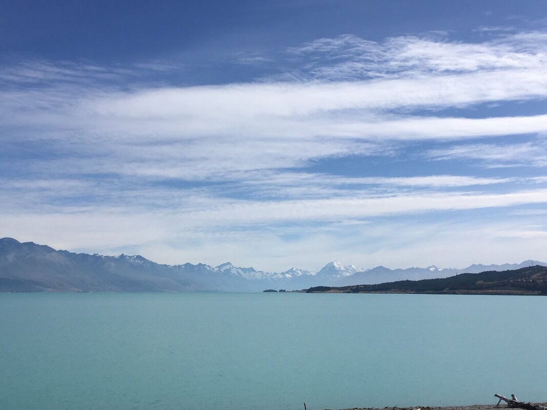
The views from Beuzenburg Peak were incredible. To see Aoraki / Mt Cook soaring snow capped and proud above the other mountains was both inspiring and beautiful all in the same breath. Aoraki / Mt Cook is New Zealand’s highest mountain at 3754m. “Aoraki” means cloud piercer and represents the most sacred of ancestors to the Ngāi Tahu iwi, connecting the natural world to the supernatural.
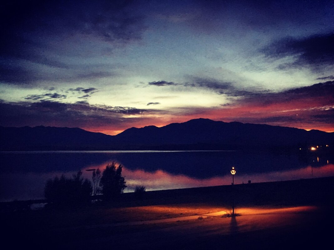
On my final night before descending into Tekapo I saw the most beautiful star lit sky. Even the Milky Way looked as though it was climbing toward Aoraki / Mt Cook. Upon reaching Lake Tekapo the following day I was met with two familiar faces from Northland, Ed I’d met on my first day on 90 mile beach and Rhys I’d hiked with for a good chunk north of Whangarei. This obviously meant beer-o-clock to catch up on trail gossip!
On my final night before descending into Tekapo I saw the most beautiful star lit sky. Even the Milky Way looked as though it was climbing toward Aoraki / Mt Cook. Upon reaching Lake Tekapo the following day I was met with two familiar faces from Northland, Ed I’d met on my first day on 90 mile beach and Rhys I’d hiked with for a good chunk north of Whangarei. This obviously meant beer-o-clock to catch up on trail gossip!
From Lake Tekapo it’s a very long flat gravel road walk along a canal to Lake Ohau. So flat and straight in fact a world speed record was made in 1996 for hydroplaning, reaching 286.5km/hr. Seeing as my shoes were shot to pieces, (as everyone’s are after 4 weeks tackling the Richmond’s Alpine terrain and the river rocks there after) I decided to save my footsies and hop on a bike with Jules to cycle the 90km. Maxing out at a top speed of around 20km/hr -no land speed records there. However, I feel Jules and I should take the crown in how much icecream can be consumed in one day… take one 2lt tub, 2 spoons and two girls in need of sugar…
The last 5km around Lake Ohau was so tough due to a head on wind. I burnt through the last of my sugar reserves and maybe also due to a full on post ice-cream sugar crash culminated in me being soooo angry at the wind! My head was down longing for that 5km to be over. In fact, if Jules had spoken to me at that point I think I would have have full on erupted into a serious meltdown! I have since learnt that Ohau means strong wind, maybe knowing that at the time may have made me feel just slightly better about the situation!
The wind stayed with us the following day, attacking us from all angles as we rose over Ahuriri saddle. All day our focus was getting over the last big river crossing before Wanaka - the Ahuriri River. As we approached it the rain clouds over the west coast ranges didn’t look promising, yet we had a plan. The low down from a few NOBO’s (North bounders) we had spoken to recommended crossing downstream of the rock island, walking up the rocks then crossing upstream. It worked a treat. Although fast flowing (and typical, the rain hit us mid crossing) we took our time, could see our feet and the water didn’t pass our knees. Unlike some who chose a slower moving section, weren’t able to see the bottom and had water up to their belly buttons!
We emerged unscathed and relieved that the much anticipated crossing was done and we could set sights on finding a camp spot for the night… with a rather inquisitive bunch of cows. I just hoped they could see all shades of green and wouldn’t stand on my tent in the middle of the night. I obviously lived to tell the tale - that could have been Darwin Award material, survived the river crossing yet was suffocated by a cows udder in her sleep haha!
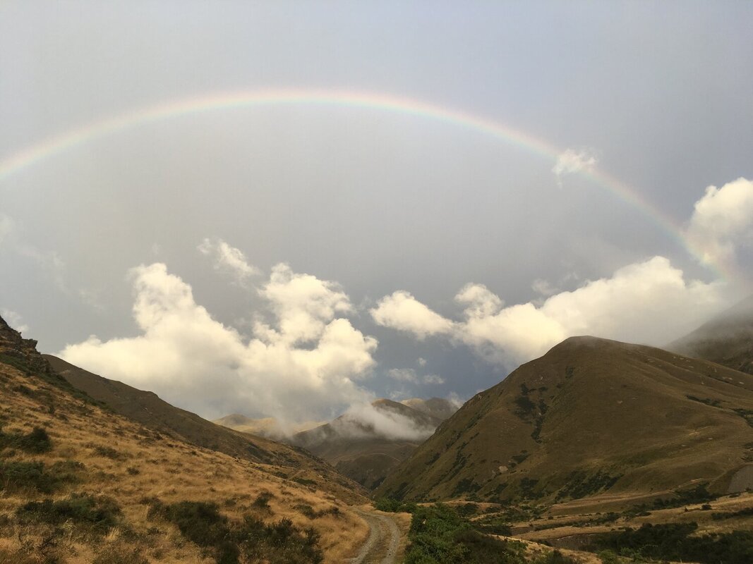
We woke to the pitter-patter of rain on our tents . I waited for a break in the rain to pack up camp and headed off telling Jules today would be filled with rainbows and unicorns. Well what do you know, I got my rainbow and 2 hares bounding across the track underneath it so I’ll take those as my unicorns. ;)
The day progressively deteriorated. Passing Martha’s Saddle at 1680m it felt more like I was walking through welsh slate mining country with the heavy clouds sitting low on the mountain tops.
Our plan for the day was to reach Stody’s Hut, again fighting rivers together knowing they would have risen from all the nights rain. Reaching Top Timaru Hut around 230pm we were forced to rethink our game plan. The contributory rivers off the mountain tops were gushing cloudy ash coloured water full of silt and filling the Timaru river to concerning levels. Knowing we had to cross it 12 times before then an extremely steep climb up to Stody’s it really didn’t seem realistic or safe to even attempt continuing. Day over. Who am I kidding though? Blasted by wind and rain so strong it was shaking the hut I was very happy to call it a day!
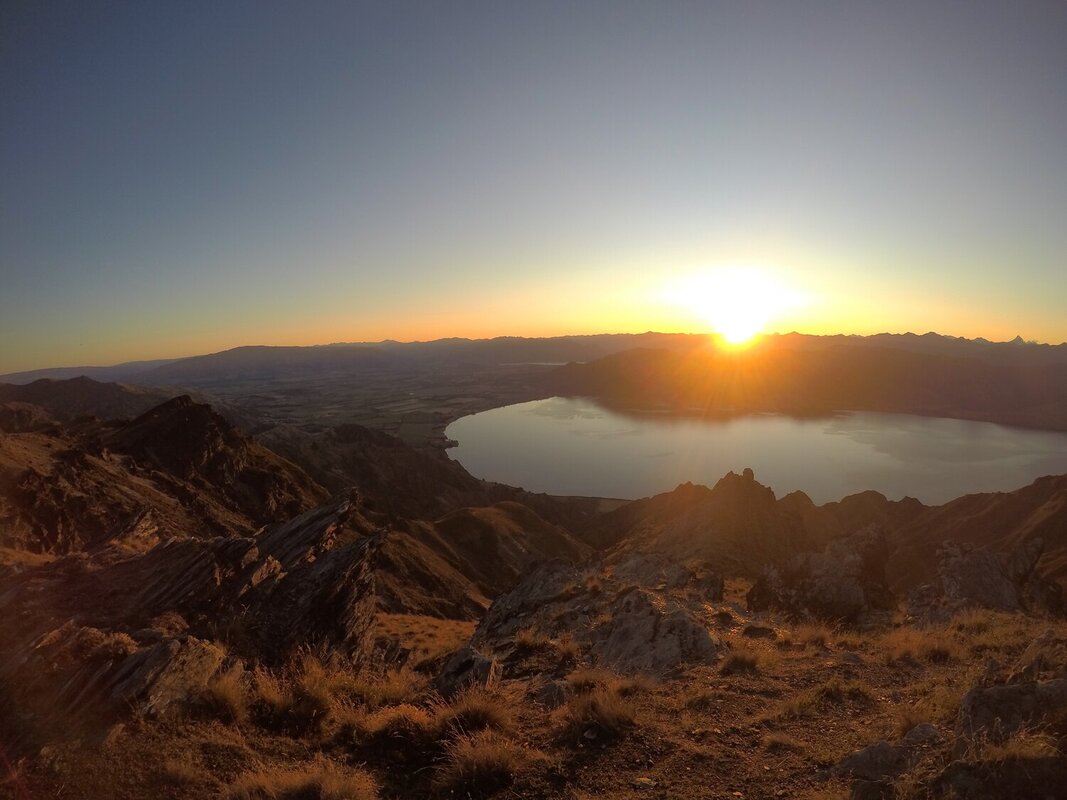
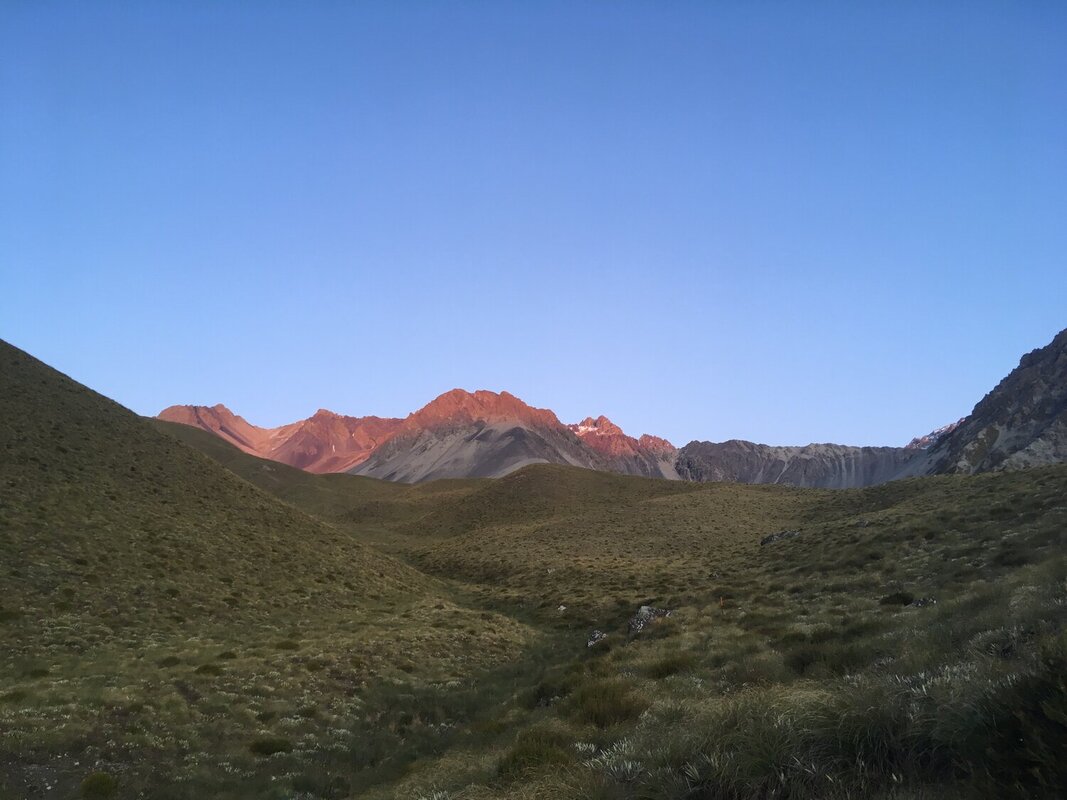
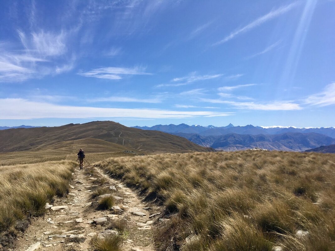
Slow going and slippy the next day but eventually we were greeted with stunning views from Breast Hill looking down onto Lake Hawea. Before saying bye to the gang I was donated their last water supplies so I could hang back and stay on top of Breast Hill for the night to wild camp and admire the setting sun….beautiful.

